Hamilton – Network Operating Plan
Overview
A Network Operating Plan (NOP) was developed for the City of Hamilton. It was made up of four quadrants and two zones as shown below.
Hamilton City NOP Quadrants and Zones
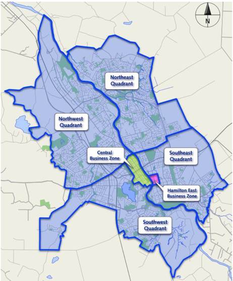
Source: Hamilton City Network Operating Plan, Hamilton City Council, Waikato District Council and NZTA, April 2017
The aim of the NOP was to integrate planning and investment. The development of the NOP involved three levels of government - Hamilton City Council, Waikato Regional Council and the New Zealand Transport Agency – resulting in a ‘one-network’ approach to road network optimisation and management within the Hamilton City Council boundaries.
They found that the NOP has provided them with the following key outputs:
- Aspirational transport network, through agreed modal priorities by route and time of day
- Provided a tangle framework to inform network operation, project and land use impact decisions
- Network wide program development to address the largest and common types of performance gaps tangible actions and guidance, which has raised the level of importance of the NOP by decision makers and stakeholders alike.
Given the above, the Hamilton NOP has proven to be a highly useable and important informer to decision makers and stakeholders alike, as it gave them a common aspirational network vision and how it will ideally operate. Given this realised benefit, further investment and continued use of a Hamilton NOP is expected.
Key Findings
A write-up of the NOP material and interview discussions is provided below.
Theme | Response |
|---|---|
How is "network operation planning" defined and what should it be used for |
|
The development processes / steps / stages and timings |
It was noted that the NOP was completed in a staged approach (one quadrant of Hamilton’s network at a time), which they found very beneficial in terms of getting feedback updating and improving their implementation of the subsequent quadrants. |
Where it fits in the overall network development and management process |
|
How it aligns / integrates with approval and funding processes |
|
How it aligns / integrates with network and project planning approaches |
|
What the strategic objectives are and where did they come from | NOF Overview document sets out the strategic objectives and principles for the transport network that are held by each of the authoring organisations. |
What the performance indicators are and where they come from | Network Principles, road hierarchy definitions and Level of Service definitions where developed based upon strategic documents from the strategic partners. |
Who the development team members should be | Three levels of governance – all working together under a “one network charter” (i.e. Hamilton City Council, Waikato Regional Council and the New Zealand Transport Agency). |
Who should implement NOPs | Those that were expected to use the NOP:
|
How should it be implemented |
|
What modes have been considered |
|
What network typologies and settings are relevant | The City of Hamilton (i.e. divided into four quadrants and the CBD). |
Engagement recommendations |
|
Planning and Assessment tools and modelling approaches |
|
Required input evidence and data |
|
Monitoring, feedback, update, etc. processes | Updates shall occur at least every two years and following new network infrastructure |
Documents
The documentation provided as part of this case study included the following:
- Hamilton City Network Operating Plan, Hamilton City Council, Waikato District Council and NZTA, April 2017