Freight

- Publication no: AP-R602-19
- ISBN: 978-1-925854-34-3
- Published: 15 August 2019
- PDF (free) Download
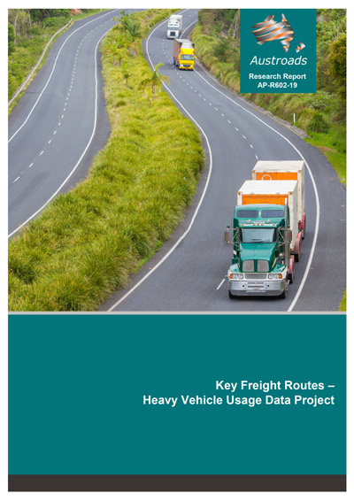
This report provides a picture of how a range of heavy vehicles use roads designated as Key Freight Routes.
The project collected telematics data from heavy vehicles and found that telematics can provide a wide range of statistics that can help inform public policy and road planning. Data collection using telematics devices installed in vehicles for commercial and regulatory purposes is less burdensome on drivers and transport operators than paper-based surveys and can provide complementary and, in some cases, more detailed road usage information than traditional traffic surveys.
While the National Telematics Framework enables the collection of standardised data from a large sample of heavy vehicles and transport operators, obtaining data from a wider sample of vehicles with telematics devices installed would enable production of more reliable road usage estimates.
The report recommends developing a broader national freight vehicle telematics data collection which can be used at national, state, territory and local levels to inform policy and planning.
A number of large appendices from the report can be downloaded from the supporting documents tab after logging in.
- Summary
- 1. Introduction
- 1.1 Introduction
- 1.2 Structure of this Report
- 1.3 Project Coordination
- 1.3.1 Project Reference Group
- 2. Telematics and the National Telematics Framework
- 2.1 National Telematics Framework
- 2.2 Intelligent Access Program
- 2.3 The Use of IAP Information in this Project
- 3. Project Stages
- 3.1 Stage 1
- 3.2 Stage 2
- 3.3 Stage 2 Consultation: Summary of Findings
- 3.3.1 Results from the engagement process with telematics providers.
- 3.3.2 Concerns over the release of data without customer consent
- 3.3.3 Commercial value of data
- 3.3.4 Lack of a consistency in data and record formats
- 3.3.5 Effort associated with post processing
- 3.4 Stage 2 Conclusions and Lessons Learnt
- 4. Australia’s Key Freight Routes
- 4.1 Identified corridors for heavy vehicles between interstate activity centres
- 5. Defining the Key Freight Routes
- 5.1 Classifying Roads
- 5.2 Determining Road Length
- 6. Data
- 6.1 Stage 1: Data Acquisition and Characteristics
- 6.1.1 Data elements collected through the IAP application
- 6.1.2 Compiled Stage 1 data set
- 6.2 Stage 2: Consultation on Data Acquisition
- 6.2.1 Stakeholder consultation principles
- 6.2.2 Stakeholder consultation activities
- 6.1 Stage 1: Data Acquisition and Characteristics
- 7. Methodology
- 7.1 Identifying Journeys from Telematics Data
- 7.2 Calculating the Distance Travelled by Vehicles on Key Freight Routes
- 7.3 Estimating Direction of Travel for Each Road Journey
- 7.4 Calculating Time-based Metrics
- 7.4.1 Converting results to local time
- 7.4.2 Calculating total travel time
- 7.4.3 Calculating reliability of travel time
- 7.4.4 Calculating travel time for interstate corridors
- 7.5 Calculating Speed
- 7.6 Identifying Unique Vehicles in Telematics Data
- 7.7 Estimating the Average Number of Road Users Per Day
- 7.8 Calculating Congestion
- 7.9 Preparing Data for Mapping
- 8. Overview of Project Outputs
- 8.1 Traffic Volume Maps
- 8.2 Road Dashboards for Key Freight Routes
- 8.3 Dashboards for High Journey Volume Segments
- 8.4 Dashboards for Interstate Corridors
- 8.5 Travel Speed Maps for Australia’s Key Freight Routes network
- 8.6 Outputs for Congestion Hotspots on the Key Freight Routes
- 9. Project Conclusions and Recommendations
- 9.1 Project Summary Findings and Conclusions
- 9.1.1 Project goals and outputs
- 9.1.2 Data processing requirements
- 9.1.3 Representative sampling
- 9.1.4 Privacy and confidentiality
- 9.1.5 Commercial issues
- 9.1.6 A positive future for the use of telematics data
- 9.1.7 Capturing more telematics data requires a strategic national approach
- 9.2 Recommendations
- 9.1 Project Summary Findings and Conclusions
- References
- Appendix A Project Reference Group
- Appendix B Volume of Journeys in Each State and Territory
- Appendix C Key Freight Route Dashboards using IAP
- Appendix D Traffic Volume, Speed and Journey Dashboards for High Volume Segments
- Appendix E Traffic Volume, Travel Speed and Travel Time Reliability Dashboards for Interstate Corridors
- Appendix F Speed of Travel Maps
- Appendix G Congestion Dashboards
- Appendix H Reliability of Journey Time Metrics for All Roads
- Appendix I Travel Volume, Speed and Time Metrics for Each Key Freight Route Segment
- Appendix J Recent Related TCA Initiatives
- J.1 Actions taken by TCA to address the recommendations
